
Earthwork Volume Takeoffs: Why the Grid, Cross-Section, and TIN Methods Don't Agree, and Which One to Trust
The grid method, the cross-section method, and the TIN method rarely agree on the same site. Here's which one to trust and why.
Pathworks Engineering Team
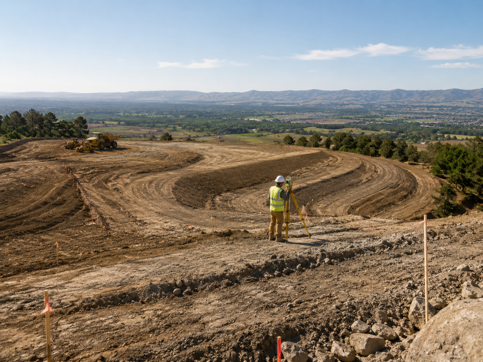
Run three standard earthwork takeoff methods against the exact same survey dataset, and they will produce three different cut-and-fill volume figures. This is not rounding error, and it is not a sign that one of the calculations was performed incorrectly. It reflects a genuine difference in what each method is actually approximating about the underlying terrain, and understanding that difference is the difference between a project that hits its earthwork budget and one that discovers a costly shortfall midway through mass grading.
This article walks through the three standard volume calculation methods, why they systematically diverge on certain site conditions, and how to choose the right method (and the right survey data density to support it) before a budget is committed rather than after.
The Three Methods, and What Each One Assumes
The grid (average end area, grid cell) method. The site is divided into a regular grid of square or rectangular cells, and the volume within each individual cell is calculated from the average of the four corner elevation differences between existing and proposed grade, multiplied by the cell's plan area, summed across every cell covering the site. This method's accuracy scales directly with grid resolution: a coarse grid, chosen to reduce computation effort or data volume, smooths over localized terrain features between grid points, systematically understating true volume on any site with irregular micro-topography that a coarse grid simply cannot resolve.
The cross-section (average end area) method. Volume is calculated between successive cross-sections taken perpendicular to a defined baseline, using the average of two consecutive section end areas multiplied by the station interval separating them, following the standard average-end-area formula:
V = [(A₁ + A₂) / 2] × L
where A₁ and A₂ are the cross-sectional areas at two successive stations and L is the distance between them. This method is the standard approach for linear corridor work (roadway alignments, pipeline corridors, drainage channels) where cross-sections naturally align with the project's inherent geometry and the terrain genuinely does vary primarily along the direction of travel. It can lose meaningful accuracy, however, on sites where terrain varies significantly *between* stations in the direction perpendicular to the baseline rather than along it: precisely the failure mode that shows up on irregular building pads or sites with cross-slope variation that a linear corridor method was never designed to capture.
The TIN (triangulated irregular network) surface-to-surface method. Both the existing ground condition and the proposed design condition are modeled as continuous triangulated surfaces built directly from all available survey points, and volume is computed as the true, mathematically integrated difference between the two surfaces across the entire site. This is generally the most accurate method available when the underlying survey point density is adequate to the terrain's complexity, precisely because it does not interpolate through an artificially imposed regular grid or a series of discrete linear sections: it works directly with the actual irregular point geometry the survey collected, letting the triangulation follow real terrain breaks rather than an assumed regular pattern.
Why the Three Methods Diverge in Practice
The divergence between these methods is not fundamentally about which underlying formula is "more correct" in some abstract mathematical sense: all three are legitimate, well-established approximations of the same underlying volume integral, and all three are used successfully across the industry every day. The real driver of divergence is how well each method's assumed geometric simplification matches the *actual* terrain irregularity present at the specific site being evaluated.
A flat, uniformly and regularly graded pad site will show close agreement across all three methods, because there is very little terrain irregularity for any of the simplifying assumptions to miss. A site with existing drainage swales, remnant berms from prior site use, or naturally irregular native grade will show meaningful and sometimes significant divergence between the methods, and the TIN method will generally track closest to the true as-built volume in these cases, because it is the only one of the three that isn't smoothing the real terrain through either an artificial regular grid or a fixed linear section interval that may not align with where the terrain actually changes.
Survey Point Density Is the Real Limiting Factor, Regardless of Method Chosen
It is worth stating plainly that switching to the theoretically more accurate TIN method does not, by itself, guarantee an accurate result. A TIN model built from sparse or poorly distributed survey points can still produce a meaningfully wrong volume calculation, because a triangulated surface can only be as accurate as the point cloud that was used to build it. A beautifully triangulated, visually convincing surface constructed from an inadequate or poorly distributed set of survey points still produces the wrong volume: it simply produces that wrong answer with more apparent precision and visual polish than a grid method built from the same sparse underlying dataset would have offered, which can actually be more dangerous from a budgeting standpoint, since the polished output inspires more confidence than the underlying data quality actually warrants.
This means the real question a design team needs to answer before committing to a takeoff method is not purely "which formula should we use," but "does our survey data have the point density and distribution needed to support the method we're choosing, given this specific site's terrain complexity." A site with genuinely complex micro-topography needs both the TIN method and a survey dense enough to actually capture that complexity: using TIN with an inadequate survey gives a false sense of precision without the underlying accuracy to back it up.
A Practical Framework for Method Selection
For linear corridor projects (roadways, utility corridors, pipeline alignments) the cross-section method remains the appropriate default, both because it aligns naturally with how these projects are typically surveyed and designed, and because the terrain along a well-chosen alignment is often genuinely well-approximated by a series of perpendicular sections, provided the station interval is tight enough to capture meaningful longitudinal grade changes.
For building pad sites, parking areas, and other two-dimensional grading areas with irregular existing terrain, the TIN method is generally the better choice, provided the survey supporting it has adequate point density: as a practical guideline, survey points should be dense enough to capture every meaningful terrain break (top and bottom of slopes, drainage swale centerlines, existing berms) as an actual surveyed point or breakline, rather than relying on interpolation across a gap to infer where a break in grade occurred.
For sites where the earthwork budget carries unusually high stakes relative to the project's overall size (a tight urban infill site where import or export material cost dominates the budget, for instance) it is often worth calculating volume using more than one method and treating a significant discrepancy between methods as a signal to investigate survey data quality before finalizing the budget number, rather than simply picking whichever method produces the more favorable figure.
Have a project like this to scope?
A sketch, a photo, or a rough spreadsheet is enough to start.
Start a ProjectThe Practical Implication for Project Budgeting
Choosing a takeoff method is not merely a technical preference to be left to whichever software package a designer happens to be most familiar with (it is a decision that should be actively driven by the site's actual terrain complexity and the survey data genuinely available to support the calculation, not by whichever method a given piece of software defaults to out of the box. For irregular sites with adequate survey density available, defaulting to a coarse grid method purely because it is faster to compute is choosing computational convenience over budget accuracy on precisely the sites where that accuracy matters most) sites with irregular terrain are, almost by definition, the sites where a naive method is most likely to produce a materially wrong number.
Where This Connects to Our Broader Civil Design Work
This discussion connects directly to the topic covered in our earlier post, Cut and Fill Calculations, Demystified: the calculation method chosen is genuinely only half of the accuracy equation. The other half is ensuring the survey data feeding that calculation, a topic covered in more depth in From Topo Survey to Grading Plan, actually has the density and spatial distribution needed to support the precision the chosen method is capable of delivering.
Our civil engineering team selects takeoff methodology on a per-site basis rather than defaulting to a single approach across every project regardless of terrain, and we flag explicitly where survey density appears insufficient for the precision a client's budget decisions actually require: before that gap becomes a change order discovered mid-construction. See our Civil & Structural Engineering Services page for more on how this work is scoped.
Conclusion
No single earthwork takeoff method is universally correct (each represents a reasonable approximation whose accuracy depends heavily on how well its underlying geometric assumptions match the actual terrain at a given site. The grid method suits regularly graded areas well; the cross-section method suits linear corridor work; the TIN method generally offers the best accuracy for irregular two-dimensional sites, provided the survey data supporting it has adequate point density. Matching the method to both the site's terrain complexity and the survey's actual data quality) rather than defaulting to convenience: is what separates a project that hits its earthwork budget from one that discovers the gap only after mobilization.
References
- ASCE: Publications and Standards Portal
- FHWA: Earthwork Estimating and Survey Guidance
- Related reading: Cut and Fill Calculations, Demystified
- Related reading: From Topo Survey to Grading Plan: What Happens Between Field Data and Drawings
- Pathworks services: Civil & Structural Engineering Services
Related articles


Utility Conflict Analysis: Reading a Composite Utility Drawing Before a Grading Plan Locks In
A composite utility drawing looks complete right up until a grading plan collides with something nobody flagged. Here's how to read one properly before that happens.

Cut and Fill Calculations, Demystified
Cut and fill numbers drive real budget and logistics decisions, but the calculation itself is often treated as a black box. Here's what's actually happening inside it.

From Topo Survey to Grading Plan: What Happens Between Field Data and Drawings
Survey points don't turn into a grading plan by themselves. Here's the actual sequence of decisions between a field dataset and a permit-ready drawing.