
GIS & Network Records
A network that isn't accurately recorded is a network you can't maintain, extend or sell. We build and maintain the spatial record: geodatabases, KMZ deliverables and asset registers that match what's in the ground.
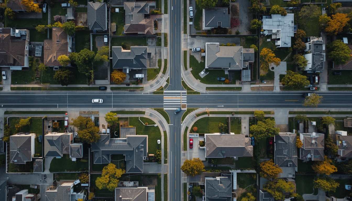

Concrete deliverables, not vague promises.
Spatial deliverables
- KMZ and KML network records structured for field and executive use
- Shapefiles and file geodatabases with defined attribute schemas
- QGIS and ArcGIS project files with symbology and layer structure intact
- Web map exports for client-side viewing
Data engineering
- CAD-to-GIS and GIS-to-CAD conversion with attribute preservation
- Coordinate system transformation and reprojection between local and global datums
- Topology validation: dangling nodes, unsnapped ends, duplicate geometry, orphan features
- Data cleaning and deduplication across merged sources
Asset records
- Asset registers linked to spatial geometry
- Splice and connectivity matrices tied to physical locations
- Attribute schema design where none currently exists
- Regulatory and funding-submission exports formatted to specification
DWG files, existing KMZ or shapefiles, spreadsheets of asset data, GPS survey exports, handheld collector data, PDF network diagrams, or a mixture of all of them in inconsistent formats. Reconciling inconsistent sources is a large part of what this service is.
Codes & standards
EPSG coordinate reference systems, OGC data formats, and client-specific attribute schemas. Where deliverables support a regulatory or funding submission, we format to the published specification for that program.
Full service engineering design. Delivered remotely.
- 01
Start with a bounded request
Send what you have — sketches, GIS/CAD files, pole data, spreadsheets. A named engineer reviews it and confirms a scoping timetable.
- 02
Agree scope, standards & criteria
Work begins once a written SOW sets deliverables, assumptions, standards and who owns each engineering decision.
- 03
Produce with visible controls
Assumptions, RFIs and progress are logged as they happen, not buried inside the drawing set.
- 04
Independent QA & handoff
A second reviewer checks the package against the SOW before a revision-tracked transmittal ships.
ISPs and operators without an in-house GIS function
Utilities consolidating asset data from multiple legacy systems
Contractors required to hand over spatial records at project close
Investors and acquirers needing a network's records made legible for diligence
We have data in five different formats. Is that a problem?
It's the normal starting point. Merging inconsistent sources into one coherent record is the core of the work, and we return a reconciliation note listing every conflict found and how it was resolved.
Can you maintain records on an ongoing basis?
Yes, this is a common retainer arrangement. Reserved monthly capacity keeps records current as construction progresses rather than reconstructing them at project close.
Do you work with our existing GIS platform?
We deliver in whatever format your system ingests. If you're deciding what to adopt, we can advise, but we won't require you to change platforms to work with us.
Have a gis & network records project to scope?
A sketch, a photo, a spreadsheet: send what you have and we’ll take it from there.